Grays Peak - Condo Trip in Summit County
- Front Range
- 2013 Report
- 2002 Report

Summary
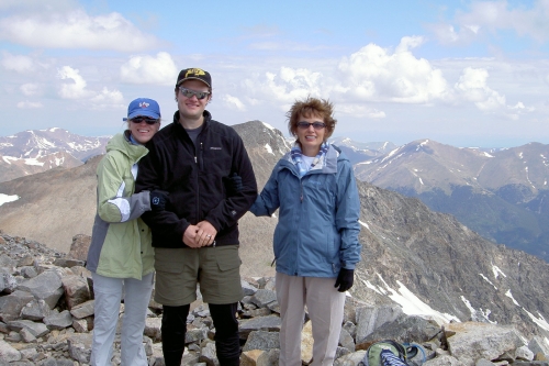
Grays Peaks Elevation 14,279ft. (Jul. 2, 2006) "East Slopes" trail combo from Horseshoe Basin TH. From the TH I climbed the East slopes trail with a slight variation. This class 2 with some class 3 trail runs (6.4 miles rt. with 4,112ft. gain). The dirt road to the TH is not too bad however it took longer to drive it then I had expected. The class 3 climb I did was pretty hairy but I found a better way down on the way back. see this trip page.
Trip Schedule break down
| Sunday | 7:30AM | -arrive at Horseshoe Baisn (A.K.A. Argentine Pass TH) 9 miles East of Keystone CO. The trail head was after a 4 mile drive down Montezuma Rd and 4.7 miles of rough two wheel drive rd and then a little extra 4-Wheel driving for those with vehicles that are able. |
| 7:30AM | -leave TH | |
| 9:45AM | -arrive at the Summit of Grays via the genital but steep East slopes route. After having taken a bad route up to the North East Ridge from Grays Lake on a previous trip this time I stayed to the unmarked but safer route up to Grays's East Slope located to the left or West of Grays Lake. | |
| 11:30AM | -arrive back at the Horseshoe Basin TH. |