Grays and Torreys Peaks - Day Trip
- Front Range
- 2006 Report
- 2002 Report
Summary
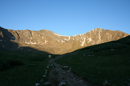
Grays and Torreys Peaks Elevation Grays 14,279ft. Torreys 14,272ft. (Jul. 9, 2013) "Stevens Gulch Trailhead" trail combo reached via bakerville exit I-70. From the TH I climbed the standard route up the valley and onto the North East ridge line of Grays. After summiting Grays, I proceeded across the connecting ridge line to Torreys. After summiting Torreys, I caught the Grays trail just above the saddle between the two peaks for my hike back to the TH. This class 2 runs (8.5 miles rt. with 3,738ft. gain). The dirt road to the TH is said to be difficult at times but I had no problem with a Honda Pilot. There were a couple sedans in the parking lot when I left as well.
The conditions of the trail were pretty good, some trail detouring was present. Most of the snow was gone for the year but there was a small snow crossing at the saddle between the peaks on the return route from the summit of Torreys back to the TH.
Trip Schedule break down
| Tuesday | 5:30AM | -leave Stevens Gulch Trailhead. |
| 7:39AM | -arrive at the summit of Grays Peak | |
| 8:39AM | -arrive at the summit of Torreys Peak. | |
| 10:49AM | -arrive back at the Stevens Gulch Trailhead. |